Turbulence maps
Europe
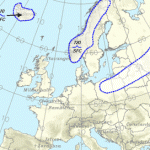
Up to 10,000 feet (lower level) turbulence forecast:
12 hrs - 18 hrs - 24 hrs - 48 hrs
10,000 - 50,000 feet (upper level) turbulence forecast:
12 hrs - 18 hrs - 24 hrs - 48 hrs
Satellite:
view
North Atlantic
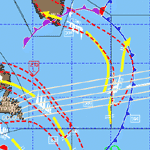
 Turbulence areas are indicated with dashed red lines. Cold front is dark blue, warm front is red.
Traveling from America to Europe: Eastbound track
Traveling from Europe to America: Westbound track
USA via Turbulenceforecast.com

